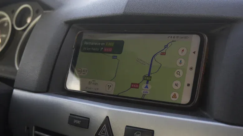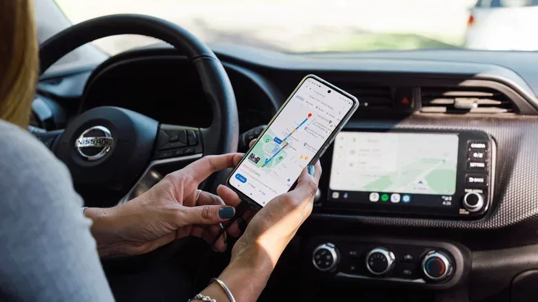
“GPS” has become the everyday word for finding a phone, following a route or checking whether a delivery is actually nearby. It is useful shorthand, but it is not usually the whole story. The more accurate umbrella term is GNSS, short for Global Navigation Satellite System. GPS is one member of that wider group: the satellite-navigation system operated by the United States.
That distinction matters when reading a phone’s specifications, comparing navigation hardware or wondering why a map can find a user in places where an open view of the sky is not available. A modern device may call its location feature “GPS” while its receiver is listening to several satellite constellations. It may also combine satellite results with Wi-Fi, cellular-network information and built-in motion sensors.
In other words, the blue dot on a map is less a solo performance by GPS than a small team effort. GPS remains the familiar name, but GNSS is generally the better term for the satellite side of contemporary positioning.
GPS is a type of GNSS, not a rival to it
The easiest way to frame the terminology is as a category and one product within that category. GNSS describes satellite-based systems that provide autonomous geographic positioning. GPS is the U.S. system within that category.
Other major constellations include:
- GLONASS, operated by Russia
- Galileo, operated by the European Union
- NavIC, operated by India
- BeiDou, operated by China
- QZSS, Japan’s system, which supplements navigation capability in its region
The operator behind a constellation should not be confused with a restriction on who can use it or where. GPS works globally, as do the systems operated by Russia, the European Union and China. The labels describe who runs the systems, rather than locking their use to a single country.
This is why saying “GNSS versus GPS” can be slightly misleading. It is not like choosing one of two unrelated technologies. The relationship is closer to “smartphone versus iPhone”: GPS fits inside the broader GNSS category.
Why “GPS” still appears everywhere
GPS became the name most people learned first, so it has become a catch-all for satellite-based location. That is not a major problem in ordinary conversation. When someone says they need GPS to navigate through traffic, the important point is that they need location guidance, not a vocabulary lesson at the next turn.
However, the wording on a spec sheet can reveal more. If a device is listed as GNSS-capable, that may indicate support for more than the U.S. GPS constellation. The specific systems supported still matter, so “GNSS” should be read as a broad capability label rather than a guarantee that every constellation is available.
For buyers, the practical takeaway is simple: do not assume that a GPS label means a device is limited to GPS alone. Marketing language often sticks with the better-known term even when the hardware supports several systems.
More constellations can make positioning more dependable
Modern smartphones commonly use a multi-constellation GNSS receiver. That means the receiver can work with signals from multiple navigation systems rather than depending only on GPS. The benefit is not that a map suddenly becomes a different app; it is that the device has access to more satellite information when determining its position.
That additional access is especially useful in difficult environments. Tall buildings, dense trees and uneven terrain can interfere with satellite reception. In those conditions, more satellites and more supported constellations can help a receiver maintain or refine its position. The practical result may be a more reliable location estimate rather than a dramatic, instantly visible change.
The distinction also helps explain why a phone’s stated positioning capability may look more expansive than the headline wording. Apple’s iPhone 17 lists precision dual-frequency GPS while also specifying support for the major systems above. The phrase “GPS” is present, but the capability extends across the broader GNSS landscape.
What dual-frequency means in this context
Dual-frequency GPS refers to a GPS feature named in the iPhone 17 specifications. It should not be treated as another constellation. GPS is still the system involved; dual-frequency describes the use of two frequencies for positioning. In a product listing, it is one detail alongside the bigger question of which GNSS constellations a device supports.
That is a useful reading habit for any navigation spec: separate the systems a receiver can use from the positioning features it advertises. GNSS, GPS, Galileo and BeiDou refer to the satellite-system side. Dual-frequency is a capability described within that positioning setup.
A phone location is not based on satellites alone
Satellite navigation is crucial, but it is only one input in many phone-location systems. Android’s Location Accuracy service combines satellite data with information from nearby Wi-Fi networks, cell towers and a device’s motion sensors. Each can help the device make refinements when satellite reception is weak or obstructed.
Those sources do different jobs. Satellite signals contribute to the location solution outdoors and over wide areas. Nearby Wi-Fi networks and cellular signals can offer useful context in built-up or indoor environments. Motion sensors provide information about the device’s movement. Together, they can help a phone continue to make sensible location estimates when one source is less dependable.
This blended approach is why a phone may identify a user’s location even in the middle of a large shop, where an unobstructed satellite view is unlikely. It also explains why the word “GPS” can conceal a surprisingly broad technical stack. The familiar label may describe the experience, while the device is actually using several kinds of signal and sensor data underneath.
Location is only one of the settings worth checking when a handset is behaving oddly. For a separate, practical issue, see how to troubleshoot a phone touchscreen that stops responding.
Google Maps uses location signals and map data for different tasks
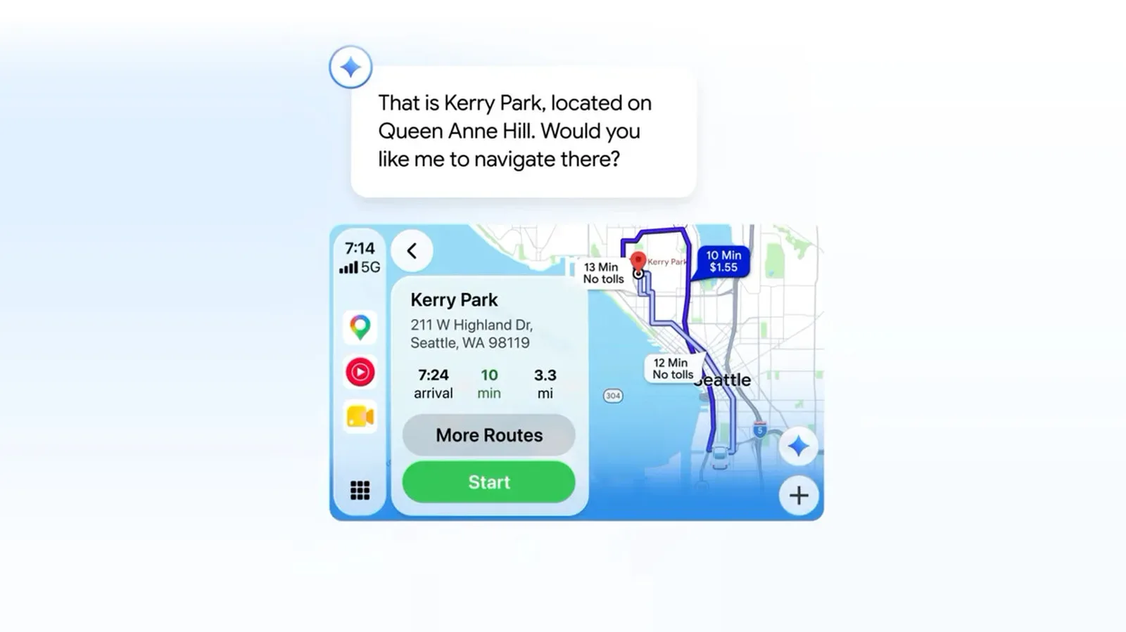
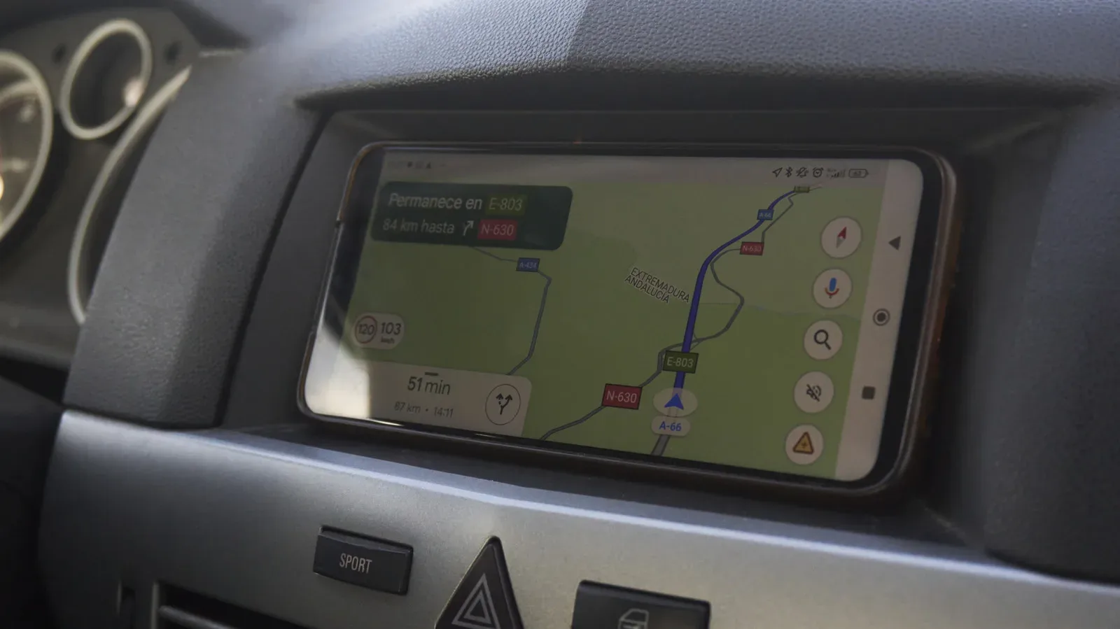
It is also helpful to separate a navigation app from the phone hardware it runs on. Google Maps can use GPS or other GNSS systems through the phone, alongside the location information the device can derive from Wi-Fi, cellular signals and sensors. But Maps also relies on map data delivered through an internet connection.
These are complementary roles, not competing ones. The phone’s positioning system works out where the device likely is. The map app uses mapping information to present streets, destinations and route guidance. Network and sensor information can help refine the position, particularly when the satellite view is compromised.
This distinction clears up a common point of confusion: an internet connection and satellite positioning are not the same thing. The map data comes through internet access, while the phone’s location estimate can draw on GNSS, Wi-Fi, cellular and motion data. In normal use, they are presented as one seamless experience, which is exactly why people understandably call the entire process GPS.
Why the blue dot may hesitate after leaving a building
A small delay after walking outdoors is a familiar navigation quirk. A phone can take an extra moment to reacquire and verify satellite signals once it has left a building. During that transition, the device may have been leaning more heavily on wireless-network information and sensors, then begins checking its location against satellite data again.
That brief pause is a good real-world illustration of the hybrid model. It does not mean the phone has suddenly stopped using location technology indoors or that satellite navigation is the only accurate input outdoors. Instead, the balance of usable information can shift with the surroundings.
Urban density, tree cover, terrain and indoor spaces all affect the conditions in which a receiver is working. A multi-constellation GNSS setup offers more satellite options, while Wi-Fi, cellular and sensor inputs help fill gaps. The user sees a blue dot; the phone is continually reconciling the clues available to it.
What the terminology means for phones, cars and drones
For everyday navigation, calling the feature GPS remains understandable. It is short, universally recognized and usually sufficient when the goal is reaching a destination without missing a turn. But GNSS is more precise when discussing the underlying hardware in smartphones, cars, drones and dedicated navigation devices.
That precision is useful in three situations:
- Reading specifications: GNSS support can signal that a device works with more than GPS, though the individual constellations should still be checked.
- Diagnosing shaky location: Bad positioning is not automatically a GPS failure. Satellite visibility, Wi-Fi and cellular context, sensor information and the surrounding environment can all play a role.
- Understanding app behavior: A navigation app is not simply “using GPS.” It may be drawing from the phone’s combined location estimate while separately receiving map data over the internet.
The plain-language version is therefore straightforward: GPS is part of GNSS. Most modern phones are likely using GNSS support across more than one satellite system, and they commonly pair those signals with other location inputs. “GPS” is still the word people use; “GNSS” better describes the wider technical reality behind the dot that gets them home.