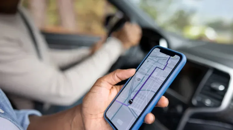

Navigation apps are supposed to remove uncertainty from a trip. Yet a busy screen, a stream of alerts and too many little symbols can create a different kind of uncertainty—especially when the driver is trying to keep attention where it belongs: on the road.
That is why Google Maps can be a particularly sensible choice for older drivers, as well as anyone who simply prefers a more restrained navigation experience. Its advantage is not spectacle. It is a combination of a relatively clean map view, clear voice guidance, traffic information, route recalculation and useful destination details. None of those tools eliminates the need to drive attentively, but together they can make an unfamiliar journey feel more manageable.
Google Maps is likely already available to many Android users, and it can also be downloaded from the Google Play Store or Apple’s App Store. Familiarity matters here: the best navigation app is often the one a driver can set up confidently before leaving, rather than one with the longest list of features.
Why a quieter interface can be the useful feature
Navigation is an exercise in attention management. A driver needs enough information to make the next safe decision, but not so much visual noise that every icon competes with the road, mirrors, signs and surrounding traffic.
Google Maps takes a comparatively straightforward approach. It supplies the essentials—route, estimated travel time, traffic conditions and directions—without making crowdsourced incident alerts the center of the experience. Other services may be better suited to drivers who actively want a constant feed of reports about what other road users have spotted. But a less event-heavy interface can be a better fit for someone who finds those alerts distracting or hard to interpret at a glance.
That does not mean a driver needs to choose an app based on age alone. Preferences, vision, hearing, familiarity with smartphones and the type of journey all matter. The practical point is simpler: a calm, predictable presentation can reduce the amount of app-related interpretation required during a drive.
Use arrival-time planning instead of guessing when to leave
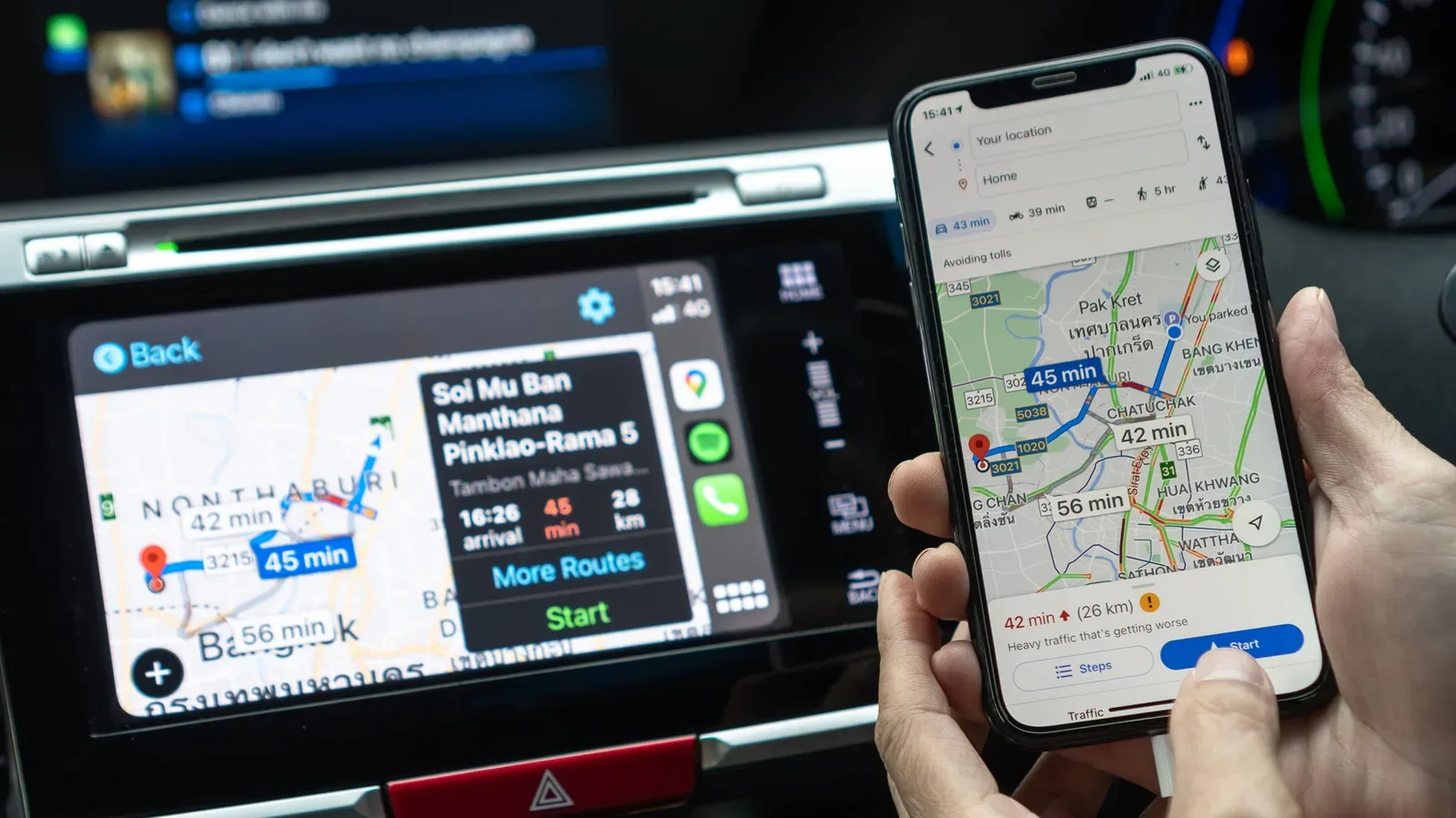
One of Google Maps’ most useful tools is the option to plan around an arrival time. This is especially helpful for appointments, unfamiliar offices or any destination where arriving a little early makes the experience easier. Rather than staring at a single travel-time estimate and doing the mental arithmetic, the app can account for typical traffic at the selected time and indicate when to depart.
For example, if an appointment begins at 10 a.m., a driver might decide they want to arrive by 9:45 a.m. to allow time for parking and finding the entrance. After finding the destination and choosing Directions with the car option selected, tap the three-dot menu in the upper-right corner and choose Set depart or arrive time. Setting the desired arrival time lets the app adjust its estimate around expected conditions at that point in the day.
There is a valuable distinction here. A travel-time estimate answers, “How long might this drive take now?” Arrival planning answers, “When should I leave to reach the destination when I need to?” For scheduled trips, the second question is usually the one that eases anxiety.
It is still sensible to build in a personal buffer. A map can estimate driving conditions, but it cannot guarantee an open parking space or eliminate the time needed to get from a car to a reception desk. The feature is best understood as planning support, not a promise of a precise arrival.
Let voice guidance do its job
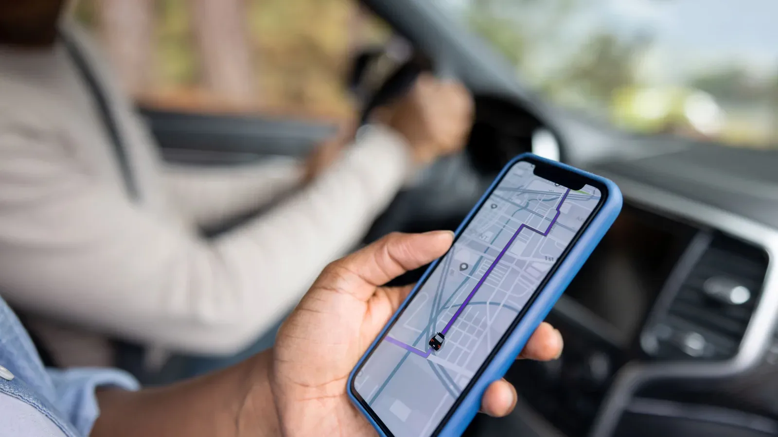
Turn-by-turn guidance is the core safety-and-convenience feature for many drivers. Google Maps can announce approaching turns, street names and the remaining distance, allowing the driver to rely less on repeated looks at the handset. If a turn is missed, it can recalculate the route automatically rather than forcing a driver to stop and start the trip again.
“Turn-by-turn” simply means that the app provides directions one decision at a time: continue along a road, turn at an upcoming street, take an exit and so on. It is more useful in the moment than trying to memorize an entire route before leaving.
The sensible routine is to enter the destination, confirm the route and start navigation before putting the vehicle in motion. Spoken guidance should support attentive driving, not become another item to troubleshoot while moving. If the app changes course after a missed turn, the safest response is usually to continue driving safely and listen for the revised instructions, rather than trying to correct the map manually.
Understand the traffic colors before the trip begins
Google Maps uses color to communicate traffic flow: green for clear roads, yellow for slower sections and red for heavy congestion. This gives a quick overview of where delays may be concentrated and helps explain why a route’s estimated time may be longer than expected.
These colors are informative, not a command to make hurried decisions. A red stretch ahead may make an alternate route look appealing, but the driver should remain focused on driving safely and let the navigation guidance handle any rerouting. The more useful benefit is expectation-setting: knowing in advance that a portion of the trip is slow can make a delay feel less surprising.
The emphasis on a readable overview also aligns with a broader preference for less digital clutter. The same principle can help with a phone’s everyday communication tools; for Android users, these Google Messages settings for a quieter, less cluttered inbox reflect the value of reducing unnecessary interruptions.
Download maps before a route where signal may be weak
Weak mobile service is an avoidable source of stress on rural roads, in parking garages and in other places where a connection can be unreliable. Google Maps’ offline-map option allows a selected area to be stored ahead of time so the map can remain usable without an internet connection.
To save an area, tap the profile picture in Google Maps, choose Offline maps, then Select your own map. Zoom and position the map until the needed area is inside the frame, then tap Download. Doing this before leaving is important: an offline map cannot help with the specific problem of losing connectivity if it was never downloaded.
There is an important limitation. Offline maps do not provide traffic updates. In other words, they preserve basic map access and navigation usefulness when service drops, but they do not retain the live traffic picture that depends on a connection. For a trip where conditions may change, downloading the area is a backup rather than a complete substitute for online navigation.
Destination details can solve problems before the car starts
Google Maps is not only a directions tool. It can help a driver look up a nearby gas station, inspect reviews, view restaurant menu details and check whether a business appears busy. That information can remove small but real uncertainties from an outing.
Checking a destination before departure can be particularly helpful when a driver wants to avoid arriving at an unusually crowded restaurant, needs fuel before a longer drive or wants a clearer sense of where they are headed. The practical advantage is preparation: fewer decisions need to be made in the car, and fewer searches need to be attempted at an inconvenient moment.
The app also includes an accessibility-related setting that can make wheelchair-accessible information more prominent for a place, including entrances, seating and parking. In Google Maps, tap the profile picture, scroll to Settings, then App & Display to enable the feature. It may take a little setup, but it can make destination research more useful for people who need that information.
It remains useful after parking
A trip does not always begin and end behind the wheel. Google Maps can also provide walking and public-transport directions, including which bus to take, how many stops to travel and how far to walk afterward. That flexibility is meaningful for people visiting a new city, parking away from a venue or mixing driving with public transit.
This is one clear point of difference from navigation apps built mainly around crowdsourced, real-time road incidents. Those alerts can be valuable for driving, but they do not necessarily help someone navigate on foot or take a bus. A general-purpose map can keep serving the trip after the engine is off.
A simple setup is more valuable than a feature checklist
The strongest case for Google Maps is not that every older driver must switch to it. It is that the app offers a practical set of navigation tools without requiring the driver to engage with a flood of extra information. For people who value direct instructions and pre-trip planning, that can be more important than novelty.
- Search for the destination and check the address before departure.
- Select driving directions and set an arrival time for appointments or timed events.
- Start voice navigation before moving the vehicle.
- Download the relevant offline area ahead of trips through places with uncertain service.
- Review parking, accessibility and destination details while safely parked or at home.
The larger lesson is not exclusive to one app: navigation technology works best when it lowers the number of decisions a driver has to make under pressure. Google Maps’ traffic display, spoken directions, offline option and destination information all point toward that goal. For older drivers—and for anyone who wants a calmer co-pilot—that straightforwardness may be exactly the feature worth choosing.