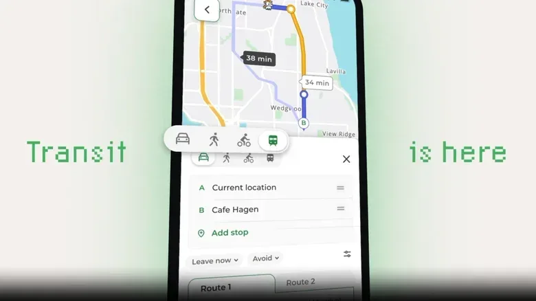

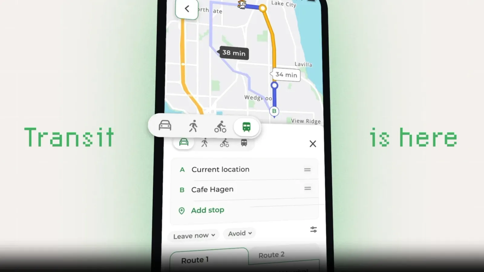
MapQuest has added public transit directions to its iOS and Android apps, closing a major gap for a mapping service that has existed for roughly three decades. Web support is also planned, though it is not available yet.
The update arrives after an unusual burst of attention for the navigation brand. MapQuest declined to relabel Lake Ontario as “Lake America” following an executive order from President Donald Trump. That decision prompted returning and new users to take another look at the service, pushing it up the App Store and Google Play charts.
Attention alone does not make a navigation app useful, particularly for people in large cities. MapQuest says users who wanted to make it their regular mapping tool needed public-transit planning first. That demand has now produced a feature that is basic for the category, but still consequential for anybody who had previously treated MapQuest as a driving-only option.
What MapQuest transit directions include
At launch, the feature covers almost 2,000 cities in 70 countries. The stated tools are more substantial than simply displaying nearby stops:
- Door-to-door trip planning that can combine walking with buses, trains and trams.
- Real-time departures and delay information in more than 350 cities.
- Station entrance and access-point details, intended to help users locate the right way into a transit system.
- Multiple route options for comparing potential journeys.
That first point matters because transit navigation is not just a matter of drawing a line between two stations. A useful route needs to account for the walk from the user’s actual starting point, the appropriate station or stop, any transfers, and the last leg from transit to the destination. In practical terms, “door-to-door” means the app is trying to plan the whole journey rather than merely the rail or bus portion.
Likewise, real-time information means departure times and reported delays can be updated instead of relying only on a fixed schedule. MapQuest’s initial real-time coverage is narrower than its overall city count: transit directions are available in nearly 2,000 cities, while live departure and delay information is specified for more than 350. That distinction is worth keeping in mind for travelers deciding how much to rely on a particular itinerary.
A long-awaited catch-up feature
The awkwardness is obvious: public-transit directions have been a standard capability in major mapping products for well over a decade. MapQuest is not presenting an entirely new concept or a novel way to take a train. It is adding a foundational utility feature after users were reminded that the brand still exists.
Still, catching up can be meaningful when it removes the reason someone would otherwise abandon an app. A person who drives most days may need transit planning only occasionally, but that occasional need can be decisive. Without it, they must switch to another service for a city weekend, an airport run, a concert, a commute disruption, or any trip where parking is not the obvious answer. With it, MapQuest has a chance to remain part of the route-planning routine.
Related coverage includes MapQuest Adds Public Transit Directions on iOS and Android.
There is also a difference between showing a transit line on a map and helping someone navigate a station in the real world. Station entrances and access points can be particularly useful when a stop has several entry points, when the closest entrance is not immediately visible from the street, or when a traveler needs to understand where a route actually begins. The update’s practical value will therefore depend not only on broad city coverage but on the quality and timeliness of the local data.
The weirdest possible product roadmap catalyst
MapQuest says millions of people “rediscovered the brand overnight” after the Lake Ontario naming dispute. The surge created a blunt product question: if people are coming back, what will keep them around?
Transit directions appear to be one answer. It is a remarkably strange chain of events for a software roadmap: a geographical naming controversy drives app curiosity; curious users discover a core omission; the service races to fill it. Yet it also demonstrates why traffic spikes can expose weaknesses that quieter periods conceal. A feature might be tolerable to postpone while an app serves an established audience with familiar habits. It becomes much harder to postpone when a large group of new users arrives with expectations shaped by modern navigation tools.
The company has further updates in development, including expanded coverage and live navigation intended to guide people to their destinations. It is also working on Android Auto support. Those plans are not the same as released features, so users should separate what is available now—transit directions in the iOS and Android apps—from what MapQuest says is still on the way.
What this means for users now
For users in supported cities, the immediate change is straightforward: MapQuest can now be considered when a journey includes buses, trains, trams and walking, not solely a car route. Multiple route options may be helpful when deciding between a potentially faster route with a transfer and a simpler route that takes longer. Real-time delay information, where available, can also change that calculation on the day of travel.
But coverage should be checked trip by trip. The initial rollout spans a large number of cities and countries, yet the supplied details do not identify every supported system or promise real-time data everywhere. A scheduled route and a live departure are different levels of information. Travelers facing a time-sensitive connection should be aware of which level their local result provides.
MapQuest’s update is less a reinvention than an overdue expansion of what navigation means in cities. Driving directions can get a person close to a destination; a complete urban trip planner needs to account for the fact that many trips begin on foot, continue through a transit network and end on foot again. After years without that capability, MapQuest has finally made a credible play for those journeys.
There is a fitting old-tech undertone to the moment. A familiar internet-era name is adapting to expectations it once missed, much as other enthusiasts keep older ideas alive in new forms—see this ZX Spectrum-era handheld experiment for a very different example of legacy-inspired technology being reconsidered.
MapQuest’s transit addition will not erase the fact that competitors established this kind of planning long ago. But it does remove an unusually conspicuous limitation at exactly the moment an unexpected number of people have been asking whether the service can become their everyday map. For an app that became newly visible because it refused to rename a lake, adding the ability to find the right train is a much more useful way to hold that attention.