

Anyone who has circled a packed block while a navigation app cheerfully declares “You have arrived” knows that reaching an address and reaching the actual destination are not always the same event. Code discovered in the iOS 27.3 beta suggests Apple may be exploring a more realistic definition of arrival for Maps: one that includes time spent finding a place to park and the walk after leaving the vehicle.
The evidence is a new flag named TimeToPark. It apparently lets the system measure the period spent near a destination before a vehicle is parked, then track the walking portion that follows. The system uses background location and motion data, and its measurements are saved for individual trips and organized by weekday and hour.
That is an intriguing direction, but it is important to separate evidence of development work from a promised Maps feature. The finding indicates that the capability can only be enabled on internal installations, and no current Apple Maps feature is known to use the collected data. There is no confirmed public release, interface, setting, or timetable. For now, this is best understood as an early sign of what Apple could be investigating rather than functionality iPhone owners can turn on.
Why parking changes the meaning of an ETA
An ETA, or estimated time of arrival, normally answers a narrow question: how long it should take to travel a route to its mapped endpoint. For a driving trip, that endpoint may be an address, a pin, or a selected place. Yet drivers often experience an extra, unpredictable final segment after navigation considers the route complete.
Parking is part of that gap. A driver may need to slow down, look for a legal space, enter a parking area, stop the car, and then continue on foot. The last step matters especially when a convenient parking space is not directly beside the address. A route time that ends when the car reaches the vicinity can still be technically accurate while being less useful for someone trying to meet another person, make a booking, or arrive before an event begins.
The apparent purpose of TimeToPark is not simply to identify where a car stopped. Based on the available description, it is intended to distinguish two parts of the end of a trip:
- Time near the destination before parking: the period in which the vehicle is close to the destination but the driving portion has not truly concluded.
- Walking time after parking: the interval between leaving the parked vehicle and arriving at the destination area.
Combined, those measurements could potentially make future arrival estimates better reflect a door-to-door journey rather than a curb-to-pin journey. The critical word is could: the existing evidence shows measurement and storage work, not how Apple would present the information or whether it will appear in Maps at all.
What the beta finding actually establishes
Beta software can reveal features in progress, testing tools, and internal frameworks that do not become public products. In this case, the code flag is meaningful because it has a fairly specific name and is associated with a defined set of data: background location, motion, per-trip records, and grouping by weekday and hour.
Those details point to a system designed to learn from repeated travel patterns. Grouping trips by day and time could let the system keep parking-related measurements tied to different circumstances instead of treating every visit as identical. A destination reached on one weekday morning may involve a different parking pattern than the same destination reached at another hour. The discovery does not establish exactly how Apple would interpret those groupings, but it does show that time context is part of the stored measurement structure.
It also suggests the system is looking beyond a single GPS point. Background location data means location information can be gathered while the relevant app is not necessarily open in front of the user. Motion data refers to information that can help identify changes in movement, such as a transition from vehicle travel to walking. Together, those kinds of signals are potentially useful for recognizing the end-of-drive sequence that a conventional route estimate overlooks.
None of that confirms a particular privacy design, retention period, sharing model, or user control. The finding only describes that results are saved per trip and grouped by weekday and hour. It would be premature to infer where the information is processed, how long it would be retained, or whether it could inform anyone else’s navigation. Those implementation questions matter, but the available material does not answer them.
What a parking-aware estimate might look like
If Apple turns this work into a consumer Maps feature, the most straightforward use would be to add expected parking and walking time to an ETA. That would make the estimate more aligned with the time a person needs to be physically at a destination, rather than merely in its vicinity.
There are other plausible uses for the measurements, though they remain analysis rather than confirmed plans. Maps might use a learned end-of-trip pattern to warn that a particular destination often requires extra time at certain periods. It might keep the driving ETA and a broader arrival ETA separate. It could also use the data quietly to refine when navigation regards a trip as complete.
However, the source material does not show any Maps screens, labels, routing changes, or alerts. It does not say that Apple has built a parking recommendation tool, real-time parking availability, a garage finder, or reservations into this system. Those are separate concepts. TimeToPark, as described, concerns measuring the time around parking and the subsequent walk—not locating an open space.
Why weekday and hour groupings are notable
The weekday-and-hour organization is one of the more revealing pieces of the discovery. Parking difficulty is not a fixed property of an address. It can vary with timing, and any system meant to account for the practical end of a drive needs some way to acknowledge that variation.
Saving results per trip also implies an emphasis on observed journeys rather than a universal static number attached to every destination. The available information does not say whether measurements would be associated with an individual device, a destination, an account, or a broader model. Still, per-trip storage indicates that the system has been built to retain distinct observations before organizing them by time.
That approach could be useful because a simple blanket addition—such as always adding a few minutes after route guidance ends—would be crude. The same adjustment would not fit every visit. A measurement-based approach offers the possibility of estimates that reflect the recurring friction of a specific kind of trip, but its eventual usefulness would depend on how reliably the system identifies parking and walking and how Apple chooses to surface the results.
The limits of what is known
There are several firm boundaries around this report. First, TimeToPark appears in the iOS 27.3 beta rather than as an announced Maps capability. Second, the feature reportedly requires an internal installation to be enabled. Third, no Maps feature currently uses the data. Those points collectively mean that ordinary users should not expect a newly visible parking-aware ETA simply because they are running a beta or have updated their phone.
It is also unknown whether the flag will remain in later builds, change purpose, or ever become part of a public release. Software development commonly includes experimental systems that are altered or abandoned. A revealing internal name can illuminate a direction of travel, but it cannot guarantee a destination.
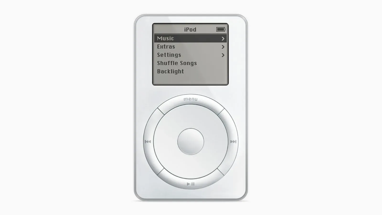
Apple’s interest in smoothing out everyday technology friction is hardly an alien idea; its hardware history includes products built around making complicated tasks feel more direct, as explored in our look at the original iPod’s legacy. But that broader observation should not be mistaken for confirmation that TimeToPark will ship. The concrete facts here remain limited to a beta flag, the kinds of signals it can measure, how results are grouped, and its internal-only status.
What to watch for next
The most meaningful follow-up would be evidence that TimeToPark becomes available beyond internal installations or that a Maps interface begins using the measurements. A public-facing feature would need to answer simple practical questions: whether the ETA includes parking automatically, whether the added time is displayed separately, and what controls exist around the background data involved.
Until then, the discovery is interesting precisely because it targets a mundane part of navigation that many route planners leave outside their estimates. The drive to a destination can be mapped with great precision, but parking and the walk from the car are often where an apparently on-time trip becomes late. Apple appears to be experimenting with measuring that missing stretch. Whether it eventually turns those measurements into a Maps arrival estimate remains unresolved.